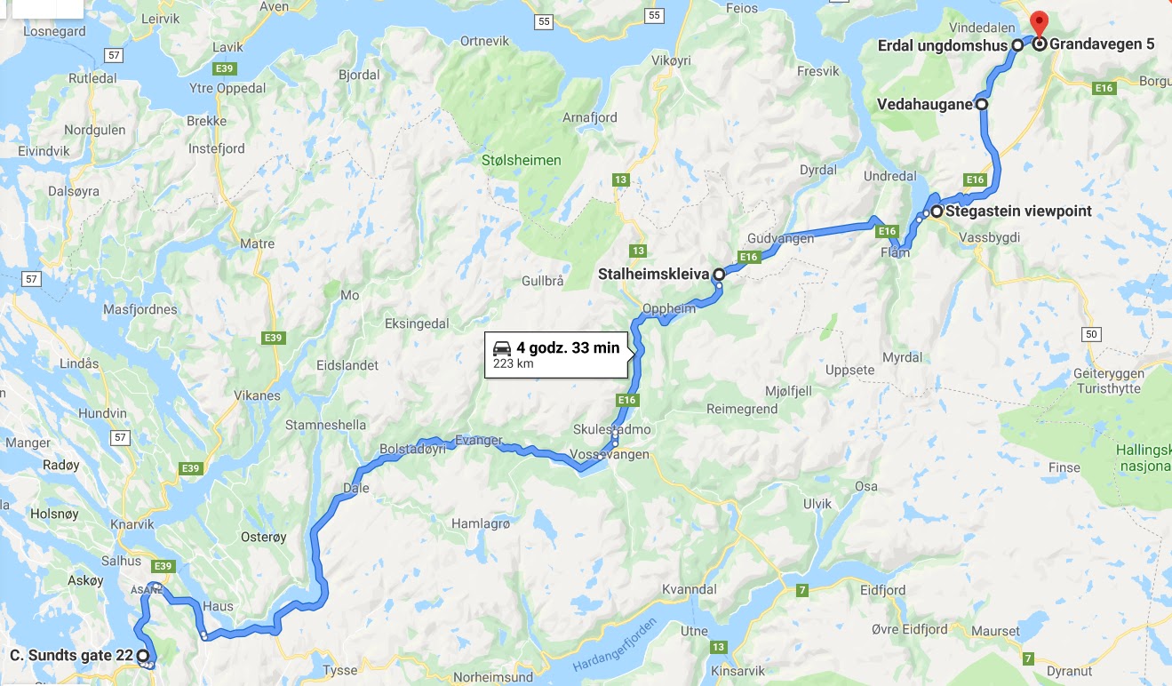
Route: https://goo.gl/maps/GvDXMr86g3wvfJgEA
As you can see the daily distance covered has decreased drastically ? But we did not regret at all the planned such short flights. This allows you to truly and unhurriedly enjoy this Norway. I am of the opinion that it is worthwhile to get to know the place and the people, by rushing and making distane, we take away this opportunity ?
 That day we could choose either the E16 road and Europe’s longest tunnel Lærdalstunellen, or the alternative 😉 Who if not us? Although… the tunnel itself is also said to be impressive. At 24 km long, it is the longest in Norway. It is also paid for motorcycles. I only know from stories that it is beautifully lit, heated and generally very impressive. But.
As an alternative, there was the Stalheimskleiva road and Snowy Road No. 243. In preparing for the trip, I came across some very interesting stories from people who have been to similar areas. After reading one of them, I knew that I would love to see this snow road. The same man also described Stalheimskleiv absolutely advising against the road for the less skilled, and those traveling with a backpack. Well … neither of us has traveled with a backpack 😉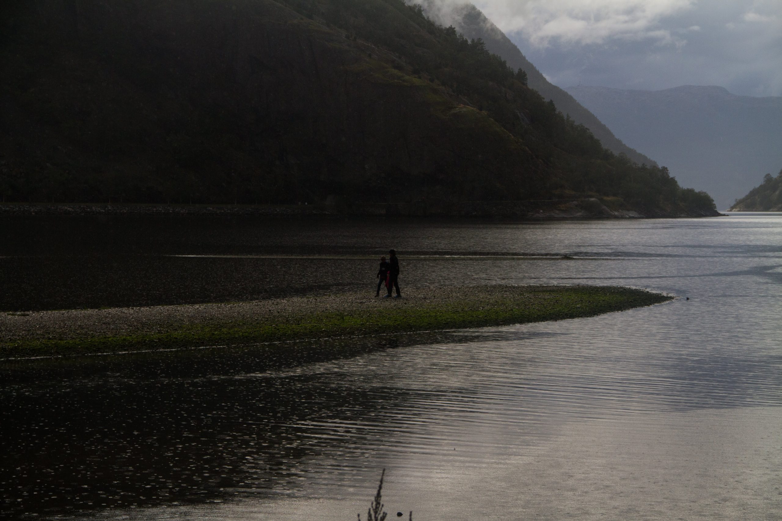
First, some facts about Stalheimskleiva. The word “kleiva” means steep and the road itself is the steepest climb in all of northern Europe. This we felt organoleptically, but first some guide information. The road was built in 1842-48, but has been in use since 1647. functioned as a postal route. Since the 17th century. All those traveling between Oslo and
Bergen
were making a stop and changing horses just at the Stalheim Pass. Until recently, all vehicle traffic through the valley was just through Stalheimskleiva, but by the end of the 20th century. turned a tunnel under the mountain and can now drive comfortably. But who would drive here for comfort.
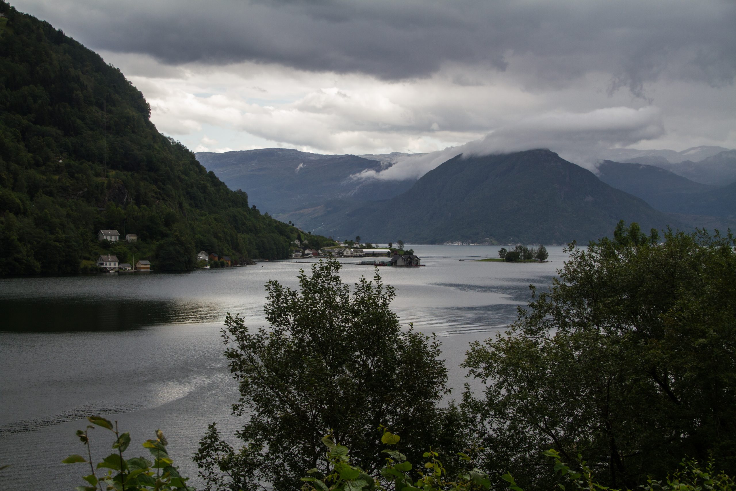
Driving from Voss on the E16 road, you need to be careful and turn off at the small directional sign to Stalheim. Of course we missed it now I’m making excuses. The road is one-way and leads to the pass where the Stalheim Hotel is located. You can walk past the souvenir store and enter the terrace. This is what I learned about while preparing this entry. I’m posting for those reading – maybe you guys won’t miss it if you’re there. We went next door to the hotel. The view of the Nærøydalen valley is breathtaking.
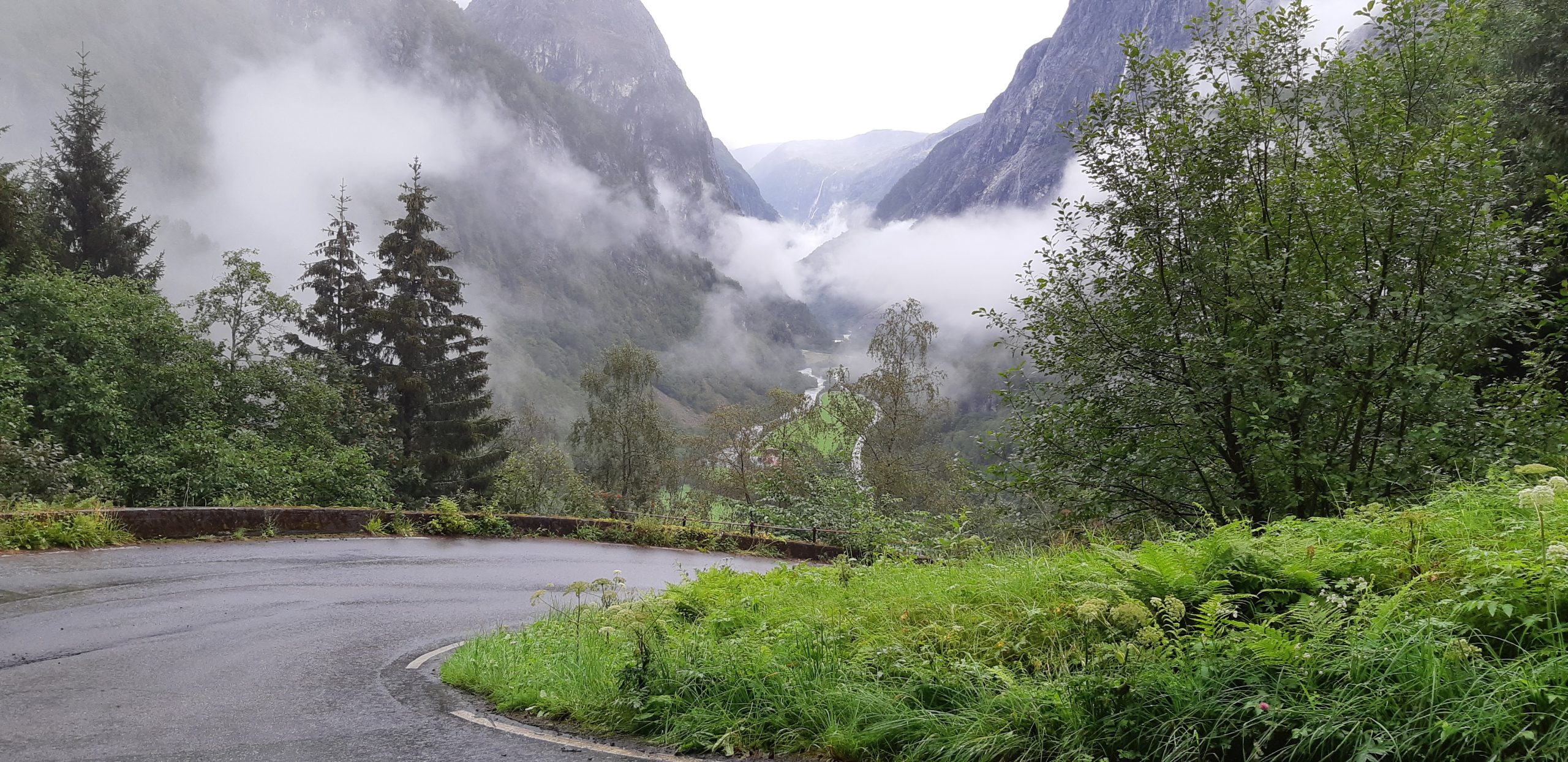
 But now the best part. The road is about 1.3 kilometers long. The exit (also one-way) is approx. 14 very tight turns. The slope of the road is 20%. From an altitude of 380 meters, this short section descends to the level of the fjord. On curves, the drop reaches 25%. But since two waterfalls Talheimfossen (126 m) and Sivlefossen (142 m) can be seen on the sides, the three blondes decided to stop and take pictures. Photos, of course, you won’t see … because there are none. Instead, there was one laid back motorcycle with its hooves up. By some strange coincidence, the road drop was on the wrong side. One made it all the way to the border wall to stand comfortably. It’s nothing to stuff later… The other turned out to have too short legs to stop. But it was too late. The drop and slope are so steep that my sufficiently long legs would be of no use either. As a result, I reached the railing, there I leaned my motorcycle against the motorcycle already supported by Justina. That is, she was wearing two. Her back was leaning against a stone, and her legs were holding both motorcycles. I ran to Horka to help lift the moto. She headed downstairs, and I went to my BMKi to relieve Justina. And here was another time when I once again loved my motorcycle even more. Since we couldn’t stuff each other, we each had to do it on our own. I don’t know how, but at ease, centimeter by centimeter the GS allowed itself to be pushed out without much effort. Down it went mega-stably and smoothly. I love it!!! It’s a good thing that you all have this, then you understand my admiration.
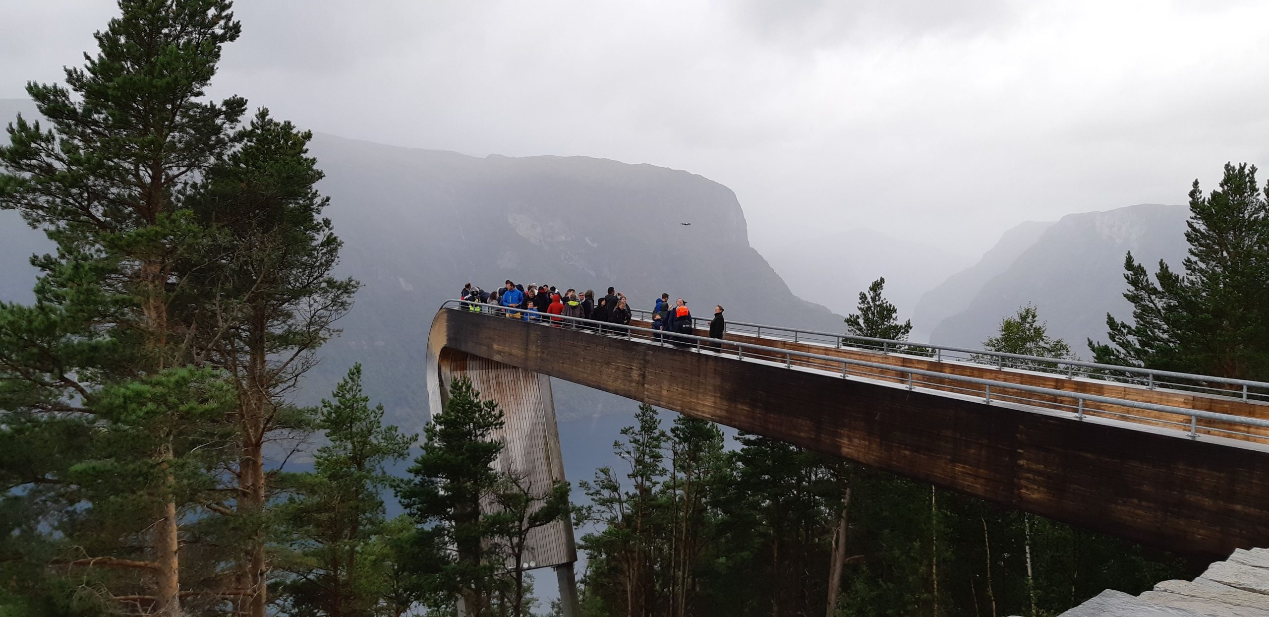
With these photos I lied a little. Before the whole circus played out I managed to take one with my phone 😉 This road is definitely another experience to reminisce in a rocking chair. Worth it! Worth it! Go people, if you are there. Is it really a bad idea with a backpack? I will not comment, I have no experience, but it seems to me that not the best indeed.
Once we arrived happily in a set, we continued on the E16 road to the Stegastein viewpoint. It is suspended 650 meters above the fjord Aurlandsfjorden and the small town of Aurlandsvangen. The viewing platform is constructed of steel and glued wood, finished with a plastic railing. The view is impressive, although it takes a while to get to the end of this platform. There were quite a few viewers despite the weather.
The most wonderful thing was that this is still not the end of the attractions for today. We still had the Snow Road waiting for us, which I was looking forward to. And I was not disappointed. This is one of the most beautiful corners for me.
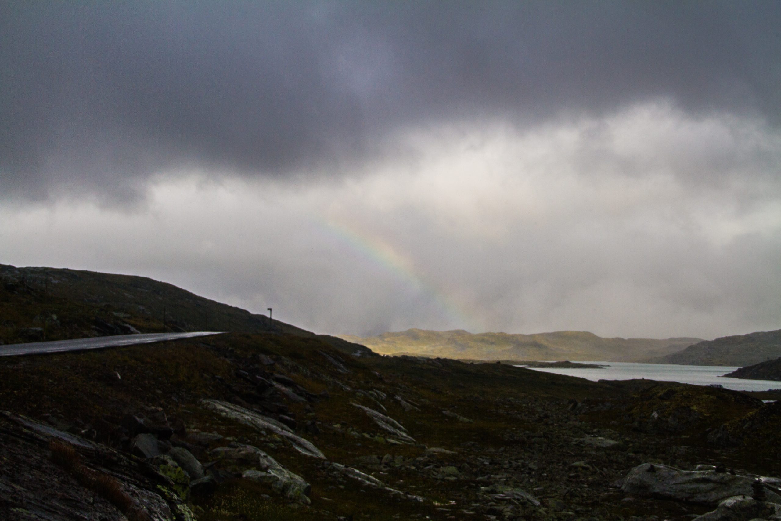
 Again, a few facts: The Snowy Road runs through a mountain ridge separating the towns of Lærdal and Aurland located at the end of two branches of the Sognefjord, the world’s longest fjord. We drove from the side of the steep Aurlandsfjord driveway. The road runs among rocky hills and lakes, and at its highest point reaches 1,300 meters above sea level. We were so mesmerized by the lunar landscape that we completely failed to notice when the temperature dropped to 4 degrees. The road stretches a couple of dozen kilometers along a plateau. A couple of hundred kilometers is definitely not enough.
The road ended with pleasant serpentines, on which we descended to the village of Lærdal. It was getting warmer with each kilometer. Rain … I will honestly say I completely forget if it rained anymore. I guess this was the day the weather stopped mattering.
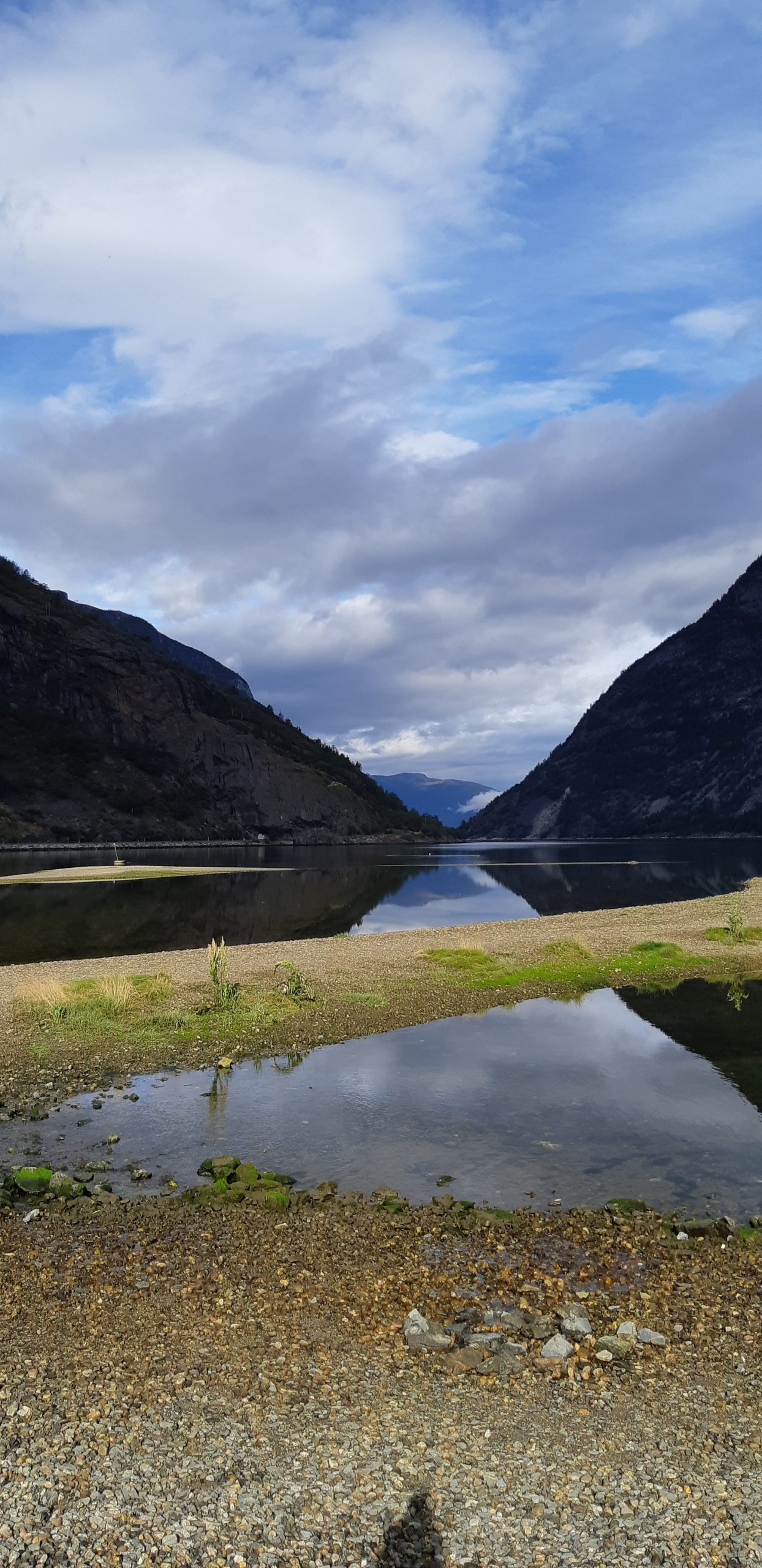
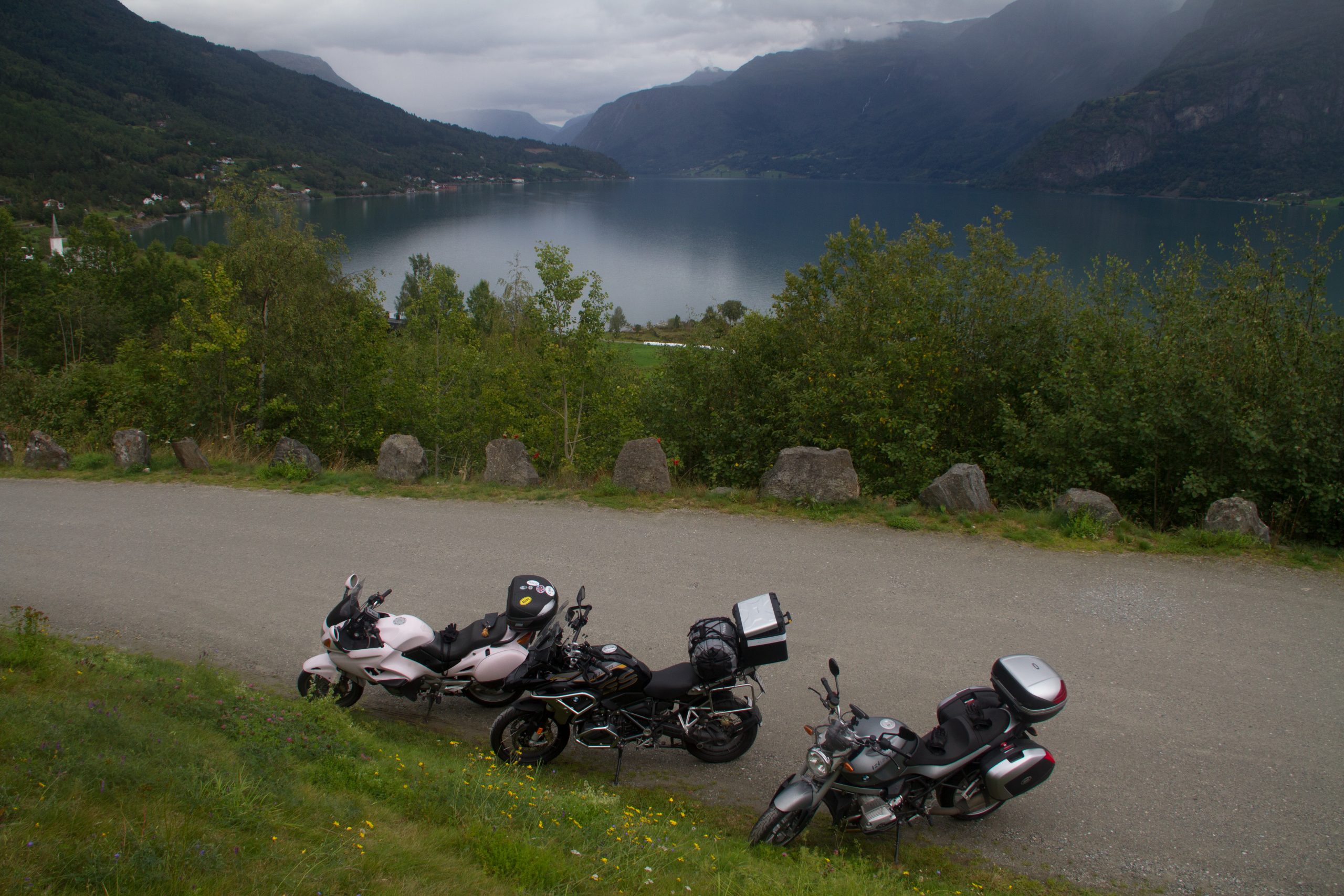
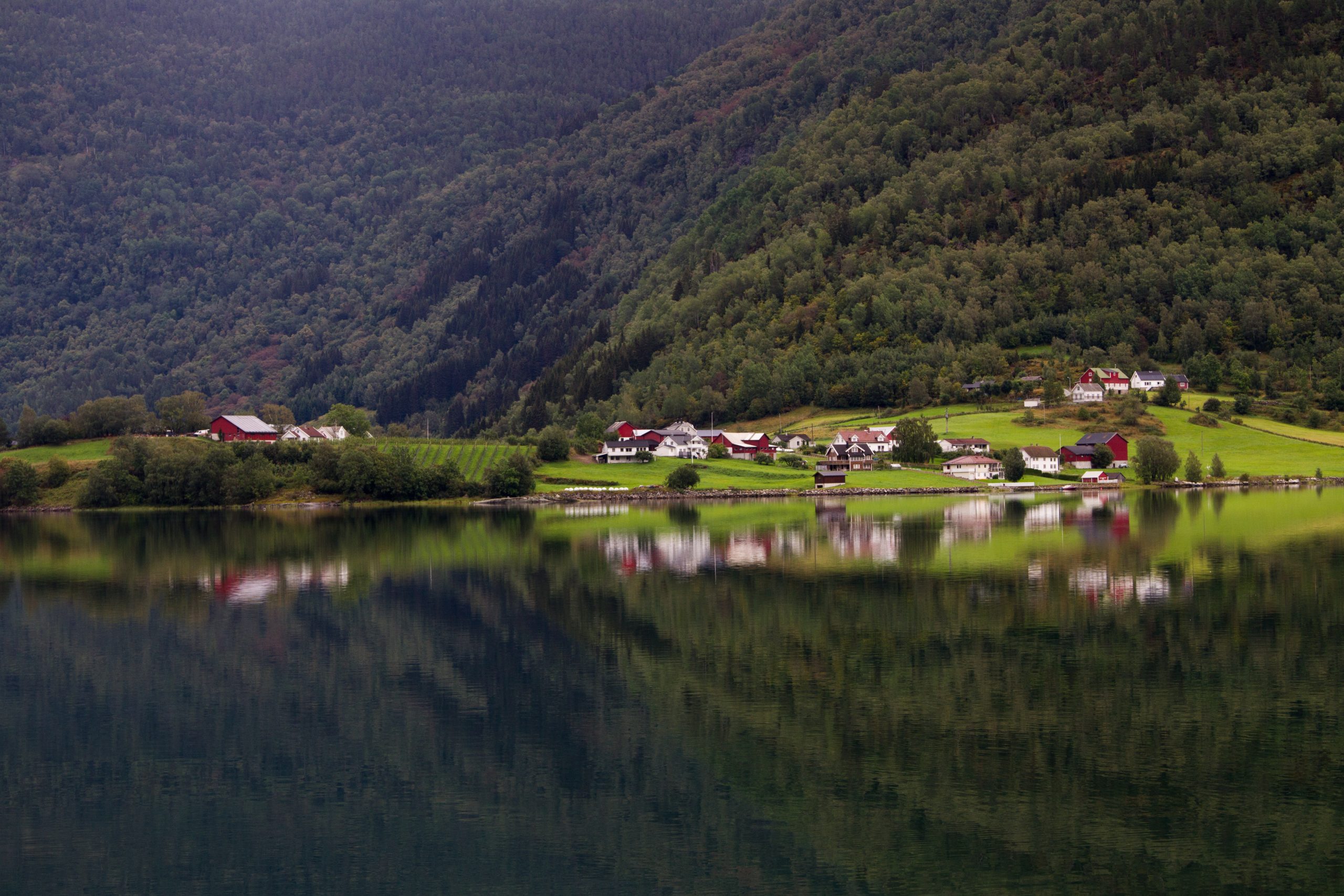
We arrived at the next accommodation. The campground is located on one of the branches of Norway’s longest fjord, Sognefjorden. It is the second longest in the world. The fjord begins about 72 km north of Bergen and extends 203 km inland to the village of Skjolden. Its width varies from 1.5 to 6 kilometers, and its deepest point is 1308 meters below sea level. And we lived 30 meters from a branch of this very fjord. Camping again turned out to be a shot in the arm.
I was hugely impressed by the surface of the water in the morning. She was like a mirror. The next day, moreover, there were more such mirrors.
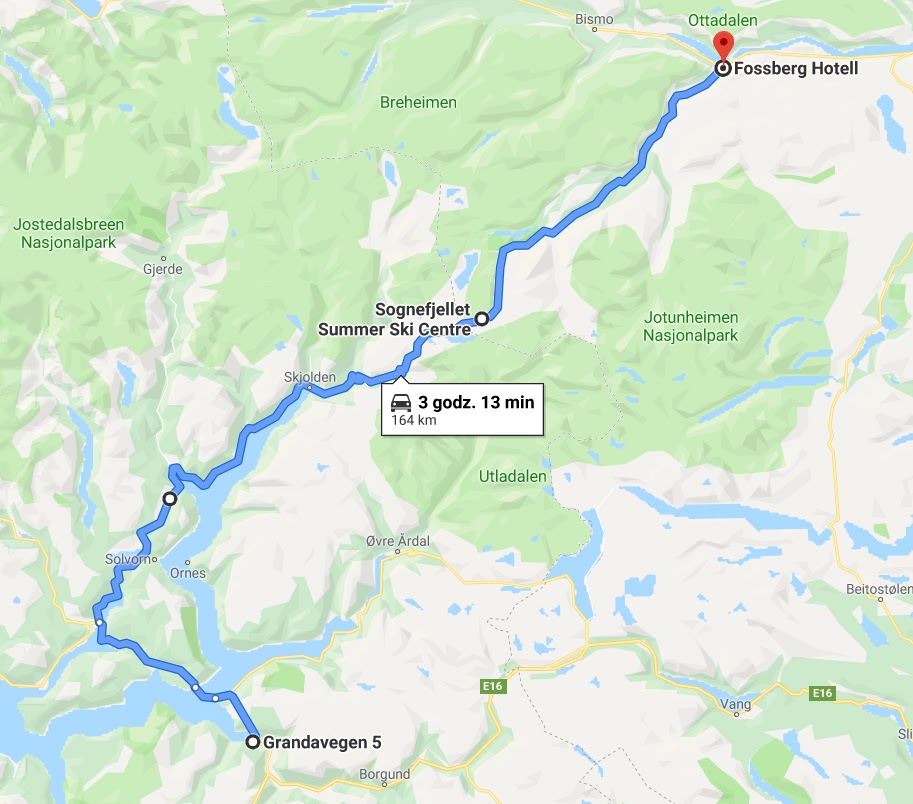
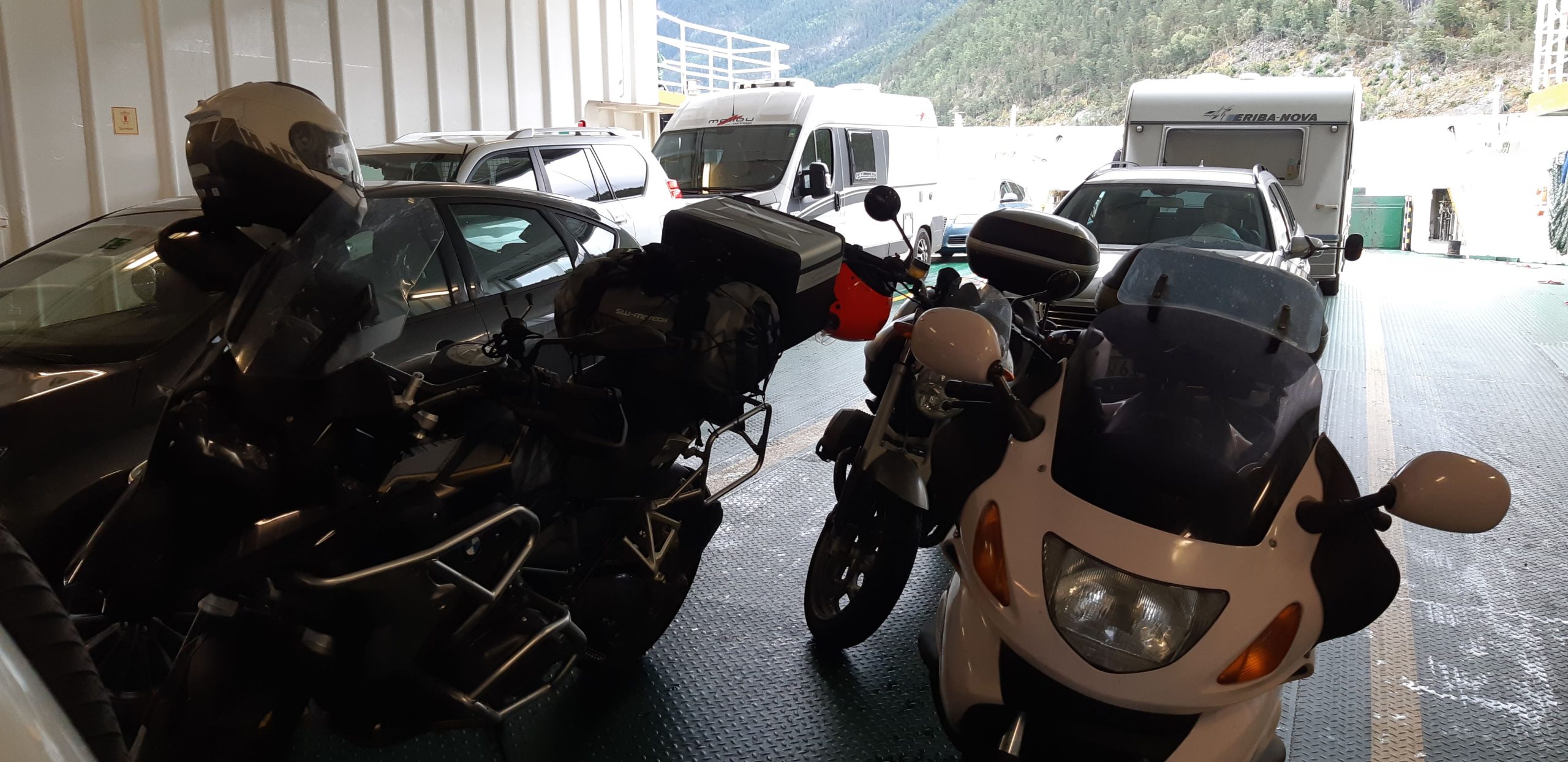
Route: ferry from Fodnes to Mannheller: runs every 20 min, takes about 15 min – Sognefjellet – Fossbergom 164 km, 3h 15min
Route: https://goo.gl/maps/gw5s4KFcJ65Yp8GU8
This time more pictures, less talk.
 Today was a high altitude day, and that’s because we drove the road called “The Roof of Norway” – Sognefjellet. It is 108 kilometers long, and in 1997, it was the first trail in Norway to receive the title of a national hiking trail – there are now 18 of them. I remind you of the link to the page where you will find information about the others. https://www.nasjonaleturistveger.no/en/routes
Sognefjellet has always existed as a route used to transport goods and travel. In the 1930s. The trail was rebuilt and a new road built by unemployed youth was opened in 1938. She was recruited from areas on both sides of the mountains. Such young and unskilled laborers, whose job was to crush rocks with pickaxes and crowbars. Afterwards, the acquired debris was taken away in wheelbarrows. Although the work took place only during the summer, but as you know, summer here is not one of the lightest. Anyway, it was probably not the time of year that determined the difficulty of the job here. 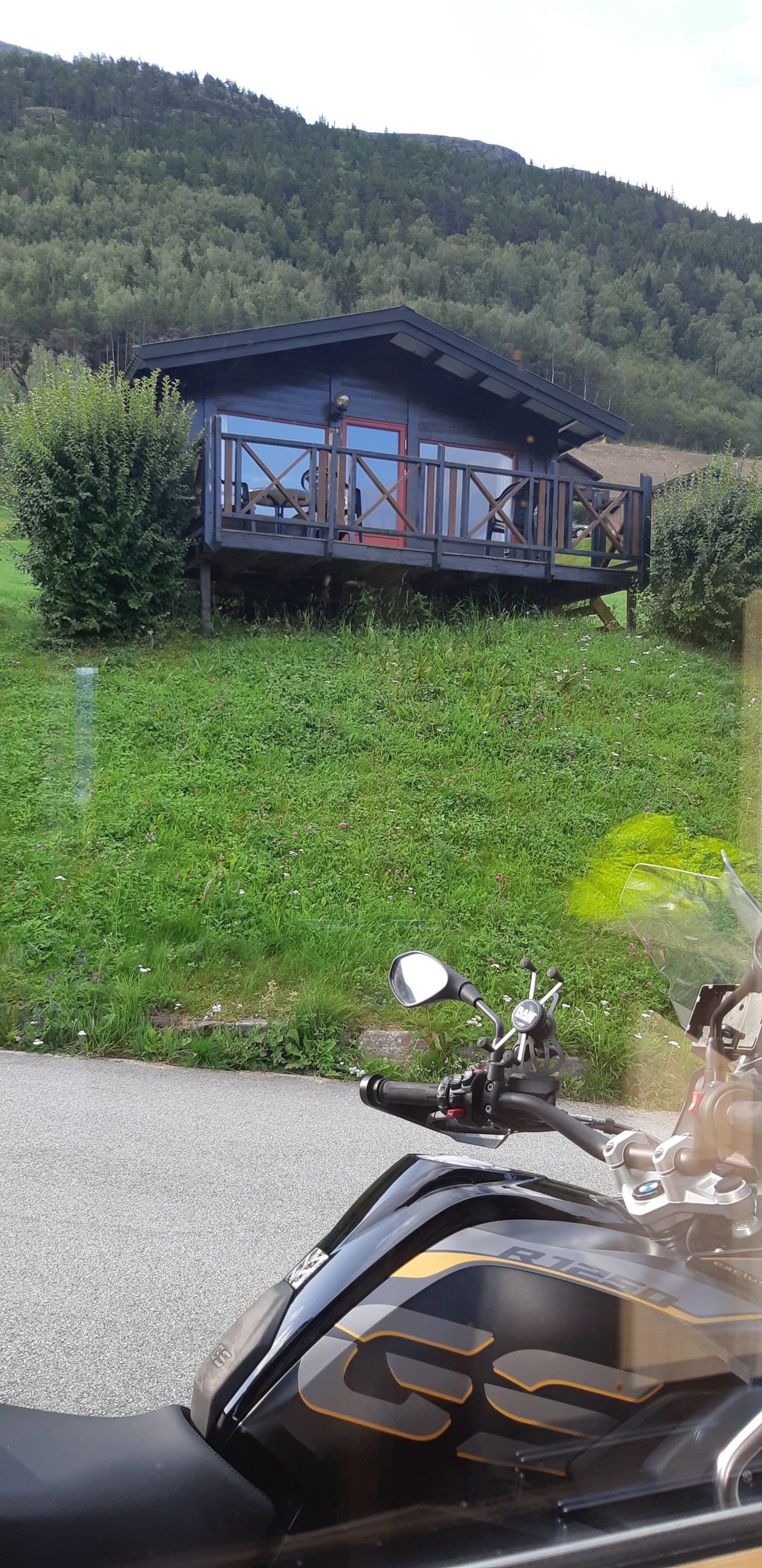
The road first leads along the Lustrafjorden fjord. Only after Fortun do the serpentines and the climb to the “roof” begin. We were riding comfortably. We thought it was incredibly warm. We were very surprised to pass motorcyclists dressed to the hilt from the opposite direction. Until we reached the fantesteinen viewpoint. It is located at an altitude of 1424 meters above sea level. It is the highest road pass in all of Norway and northern Europe. And we were there. An immodest pride is bursting over me as I write this to myself now and realize
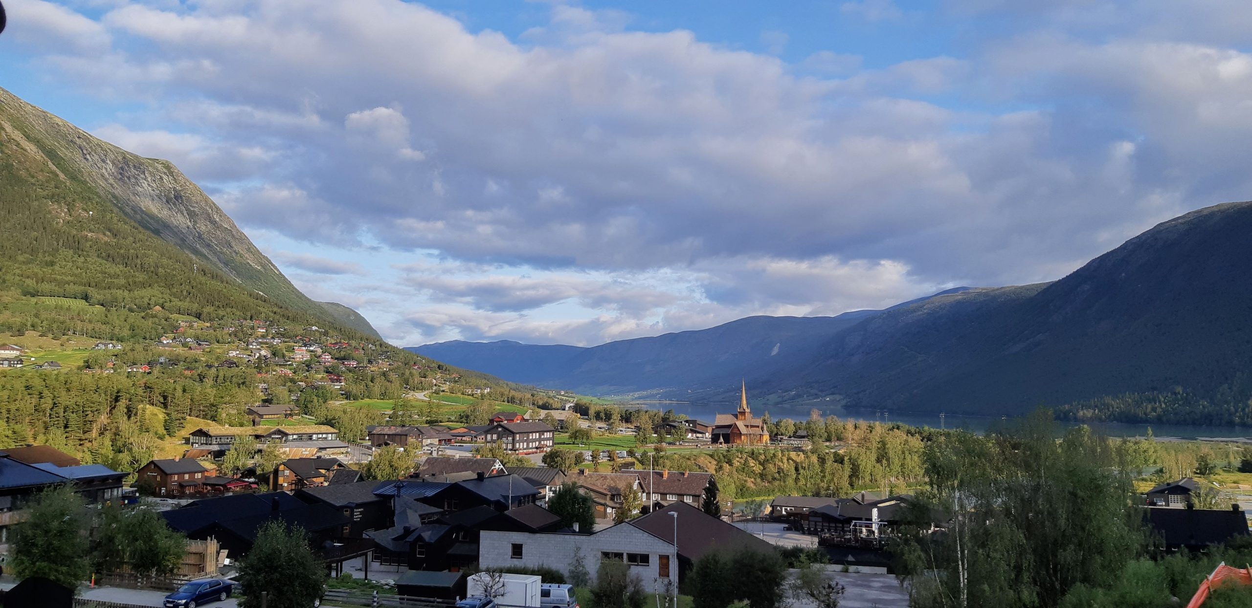
 At the very end of Sognefjellet lies the small town of Lom where we were scheduled to spend the next night. Here you will find the famous
Lom stavkirke
. The church was built at the end of the 12th century. It was expanded in 1634 and then in 1663, at which time it received its present cruciform shape. It houses the largest collection of paintings (from the 18th century) that can be seen in Norwegian churches. The church’s ridges are decorated with dragon heads, and the altar is wooden. As I have read it is still the main church that serves the faithful from the surrounding area. It is one of the largest and best-preserved churches of the stav type, or also called mast or stave churches. Such wooden churches are the oldest wooden monuments in Europe. Their structure is a skeletal frame composed of vertical corner wooden posts, fastened together by long boards called staves. These staves applied vertically form the walls of the church. The roof is covered with scalloped shingles, and the ridges are decorated with carvings that depict dragons. This is another place we didn’t get to visit, but it’s probably worth it. 
Overnight once again a hit. With a beautiful panorama of the town and a cozy lounge. The town itself was very impressive from the point of view of tourism . Throughout the region, all buildings are “plastered” with wood of the same color. Likewise, all signs, house numbers, and information are made of white material in a uniform font. Everything gives the impression of being extremely orderly and in harmony.
A nice feeling.
